


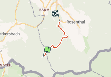

3.5 km | 5.3 km-effort

Tous les sentiers balisés d’Europe GUIDE+


FREE GPS app for hiking
 SityTrail
IGN / Geographical institutes
SityTrail World
The world is yours!
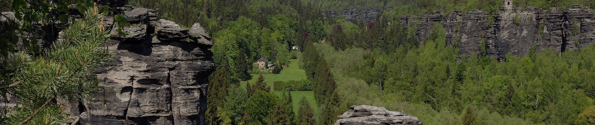
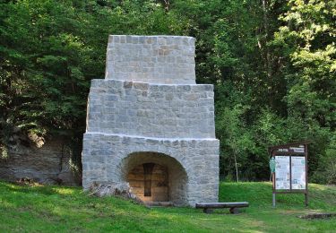
Trail On foot of 4.8 km to be discovered at Saxony, Sächsische Schweiz-Osterzgebirge, Bad Gottleuba-Berggießhübel. This trail is proposed by SityTrail - itinéraires balisés pédestres.
Blauer Strich
Symbol: Blauer Strich auf weißem Grund


![Trail On foot Tisá - [Z] Tisá (bus) – Ostrov - Photo](https://media.geolcdn.com/t/375/260/78f4b062-24a7-4483-95d6-be239bd66196.jpeg&format=jpg&maxdim=2)
On foot
![Trail On foot Tisá - [Ž] Ostrov - Libouchec - Photo](https://media.geolcdn.com/t/375/260/2bfd82e0-b637-403c-881d-581e57d7b83c.jpeg&format=jpg&maxdim=2)
On foot
On foot
On foot
On foot

Walking